 Quickest
By floatplane
From the Ketchikan waterfront
- Time
- 2 hrs, dock to dock
- Price
- from $349
- You see
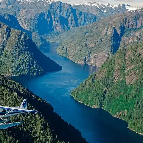
- Walls, lakes, Rudyerd Bay
Guides
Language
EnglishCurrency
US dollar · $GetYourGuide converts to the currency you select here.
Guide · The monument
What the monument protects, how big it is, why its name is spelled two ways, how ice and lava shaped it, who lived here first and how a day visitor gets in.
Editorial team, mistyfjordsflightseeing.comUpdated October 25, 2026Reading time about 6 minutes33 sources
The short version
Misty Fjords National Monument is a roadless stretch of the Tongass National Forest on the mainland east of Ketchikan, at the southern end of Alaska's Inside Passage. Ketchikan lies 22 miles west of it.1 There is no road in at all. The only ways inside are on the water and through the air, and Behm Canal is the main waterway through the heart of the area.45 That single fact shapes every visit, from a short flight to a week in a cabin.
When it was created, the proclamation described Misty Fiords as an unspoiled coastal ecosystem whose scientific and historical features are unique in North America.6 It named the animals that live here: bald eagles, brown and black bears, moose, wolves, mountain goats and Sitka black-tailed deer.7 It also called the area a major producer of all five species of Pacific salmon, and especially important for king salmon.8
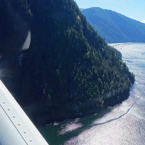
The monument sits inside the Tongass, the largest national forest in the United States, which covers most of Southeast Alaska.9 The Forest Service calls the Tongass the largest intact coastal rainforest in America, and Misty Fjords is part of it.10 Step past the wilderness boundary and you are among Sitka spruce, western hemlock and cedar, growing on slopes so steep that from the air they look painted onto the rock.11
Timeline
17,000 years ago
Massive bodies of ice fill the area, then carve deep fiords as they retreat.12
15,000 years ago
The core of New Eddystone Rock forms, about 15,000 to 13,800 years ago.13
18th century
Tlingit and Tsetsaut Athabaskans probably live in what is now the monument.14
1793
George Vancouver explores the area and reportedly lunches on New Eddystone Rock.15
1978
President Jimmy Carter proclaims over 2,200,000 acres as a national monument.2
1980
Congress designates 2,142,243 acres as wilderness, the largest on the Tongass.3
President Jimmy Carter proclaimed the monument in 1978 with over 2,200,000 acres.2 The text itself, Proclamation 4623 of December 1, 1978, gives the place its first official name, Misty Fiords, with an i.6 The Forest Service still uses that spelling on some of its pages today, for example the one for the trailhead at Punchbowl Cove, while its monument page writes Misty Fjords.162
Congress changed the status soon after. In 1980 the acreage was reduced to 2,142,243 acres, but that land became congressionally designated wilderness, and it remains the largest wilderness area on the Tongass National Forest.3 The Forest Service says the designation means the area is managed to keep an undeveloped, enduring ecosystem for present and future generations.3 In practice that means the fiords look much as the ice and the forest left them.
You will see several sizes quoted, and they are not in conflict. The proclamation covered over 2,200,000 acres, the wilderness is 2,142,243 acres, and Travel Alaska rounds the monument to 2.1 million acres.234 Many people search for Misty Fjords National Park, but there is no such park: it is a national monument inside a national forest, and this guide uses each figure with its own source.
In figures
| Fact | Figure | Source |
|---|---|---|
| Proclaimed | 1978 | Proclamation 4623 |
| Area proclaimed | Over 2,200,000 acres | Forest Service |
| Wilderness area | 2,142,243 acres | Forest Service |
| Behm Canal | Over 50 miles long | Proclamation 4623 |
| Public cabins | 13 | Forest Service |
| Shelters | 5 | Forest Service |
| Trails | 10, with 20 miles in all | Forest Service |
| Distance from Ketchikan | 22 miles | Alaska DOT&PF |
Figures from Proclamation 4623 of 1978, the Forest Service monument page and the Alaska Marine Highway page for Ketchikan.62317181
Ways in
QuickestFrom the Ketchikan waterfront
 Water level
From downtown Ketchikan
 Longest
Public recreation cabin
Decision helper
Pick the line that sounds most like you
The flight takes 2 hours dock to dock from Berth 2.
A cruise of 5.25 hours starts from $232 per person.
13 public cabins and 10 trails are reached by boat or plane.18
The waters feed humpback whales, sea lions and harbor seals.19
Goats on the ridges show from a floatplane or through binoculars.20
Misty Fiords is an unspoiled coastal ecosystem containing significant scientific and historical features unique in North America.
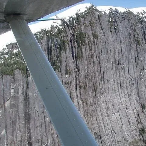
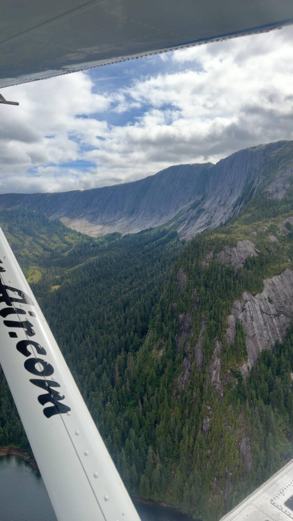
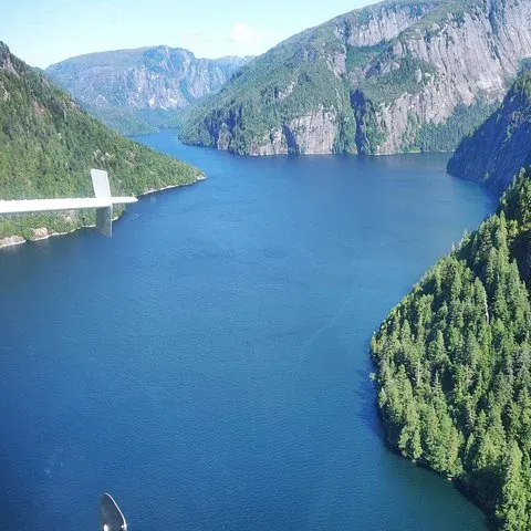
The ice came first. About 17,000 years ago the whole area lay under massive bodies of ice, and as the ice withdrew, it carved long, deep fiords with cliffs that rise for thousands of feet, the walls a floatplane follows today.12 When the sea flooded in behind the ice, the valleys became the long arms of salt water that now reach deep into the mountains from Behm Canal, with waterfalls pouring off their rims.
The rock tells the story in color. In Punchbowl Cove, the spectacular gray cliff on the north side is granite, while the blackish cliffs at the head of the cove are basalt, a lava that can cool into pillar-like columns.2122 Radiometric dating puts the Punchbowl basalts at about 400,000 years old.23 Seen from a floatplane, the contrast between the pale granite and the dark basalt is a geology lesson you can read from the window.
Not everything here was carved by ice. New Eddystone Rock, standing on its own in Behm Canal, is a plug of hardened lava from a former volcanic vent, with a core about 15,000 to 13,800 years old.13 Wave action and the land rising after the ice melted have left it a 237-foot landmark.24 Floatplanes and boats heading for Rudyerd Bay pass close to it, and from above it looks like a dark thumb standing in the water.
Before you go
Video
The video plays from YouTube only after you press play.
The wilderness was never empty of people. By the time Europeans arrived in the 18th century, some 2,000 people probably lived in what is now Misty Fjords, among them the coast-dwelling Tlingit and the Tsetsaut Athabaskans of the interior.14 Their camps, trails and fishing places followed the same bays and rivers that visitors fly over today, and the salmon streams were at the center of their year.
George Vancouver explored the area in 1793 and is reported to have stopped for lunch on New Eddystone Rock.15 Within sight of the rock, on the eastern side of Revillagigedo Island, carbonated soda springs come out of the ground, one of several small curiosities the Forest Service geology guide to the monument points out.25 Neither can be seen from a plane, but both give the rock a story beyond its shape.
The proclamation also records a military post and port of entry on Tongass Island in the mid-1800s and a salmon cannery in Behm Canal from the late 1800s.26 Traces of that past still lie in the wilderness. The Forest Service asks visitors to look at cultural and historical structures and artifacts but never touch them, and to leave everything where it lies for the next visitor to find.27
Most visitors see the monument for a short while from a plane or a boat, but it is open to anyone who comes prepared. The Forest Service lists 13 public recreation cabins, 5 three-sided shelters and 10 trails with 20 miles of hiking between them.18 All of them are reached by water or by air, and the agency asks visitors to plan ahead for extreme weather and emergencies before they set out.28
One short example shows the scale. From the head of Punchbowl Cove, near the mouth of Rudyerd Bay, a trail of 1.0 miles climbs to Punchbowl Lake, starting easy on boardwalk and turning steep.1629 From a floatplane the same lake is a small blue patch among granite slopes, which says a lot about how big the landscape is and how little of it any single visit can cover.
The waters of the monument are a prime feeding area for humpback whales, Steller sea lions and harbor seals, and bald eagles nest in the trees along the shore.19 Mountain goats patrol the ridgelines and can be seen through binoculars or from the window of a floatplane.20 Few of the cliffs have ledges suited to nesting, so bird colonies are fewer than the walls would suggest.30
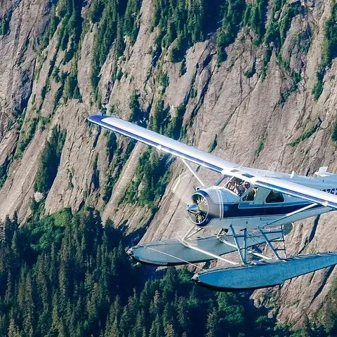
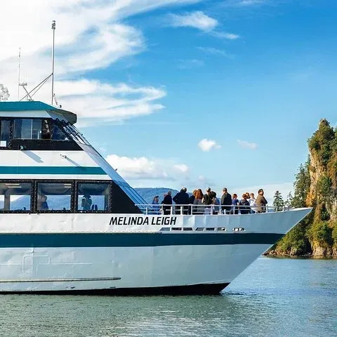
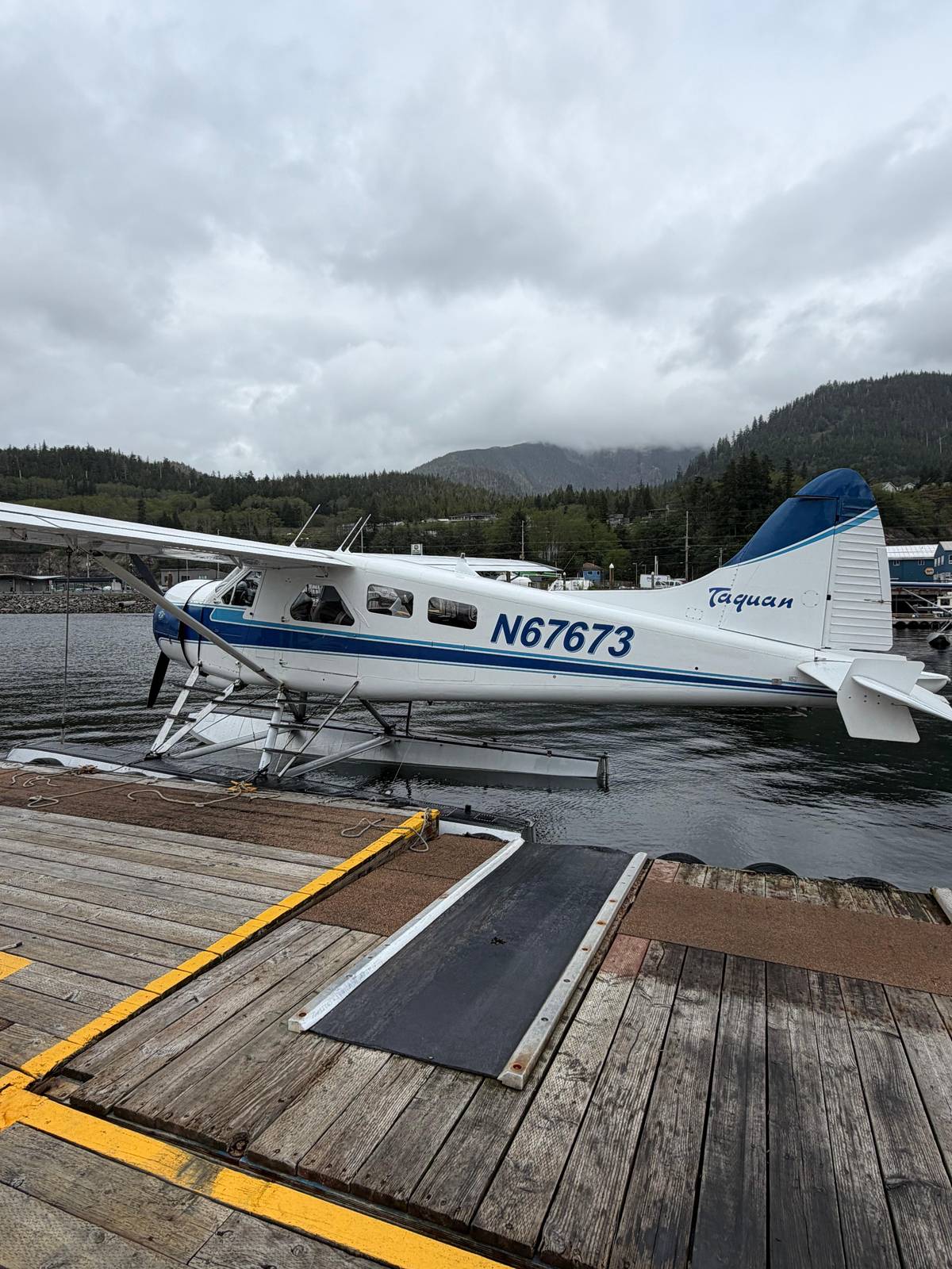
For a day visitor the choice is the air or the water. Boat and plane tours go into Misty Fjords throughout the summer, and most of them leave from downtown Ketchikan.31 Flights board on the waterfront, and Ketchikan's floatplanes are generally single-engine planes with floats instead of wheels, lined up at the harbor dock.3233 A boat leaves from the cruise berths themselves.
The flight this site features takes 2 hours from Berth 2 back to Berth 2 and is rated 4.37 from 303 reviews, from $349. It flies over the rainforest, the granite walls, Rudyerd Bay and New Eddystone Rock without stopping, and every guest has a window seat. The listing names no water landing, so you see the monument from above rather than from its shore, and the van brings you back to the same berth.
A boat covers similar ground at water level. One cruise runs 5.25 hours from downtown, passing New Eddystone Rock and entering Rudyerd Bay between cliffs of up to 3,000 feet, from $232. Whichever way you choose, the same rule applies in this wet corner of Alaska: the cloud on the day decides how much of the monument you actually get to see.
Ready to fly
Pick a departure that fits your ship, then meet the van at Berth 2.
No, a national monument. It was proclaimed a national monument in 1978 and lies in the Tongass National Forest, most of it as designated wilderness.23
Over 2 million acres. Over 2,200,000 acres were proclaimed in 1978; the wilderness covers 2,142,243 acres.23
Both spellings are official. The 1978 proclamation and some Forest Service pages write Misty Fiords; the Forest Service monument page writes Misty Fjords.62
About 22 miles east. Ketchikan lies 22 miles west of the monument, on Revillagigedo Island across Behm Canal.1
No, there are no roads. Visitors come by boat or by floatplane, and Behm Canal is the main waterway through the heart of the area.45
Bears, goats, whales and more. The proclamation names bald eagles, brown and black bears, moose, wolves and mountain goats, and the waters feed humpback whales.719
Yes, in public cabins. The Forest Service lists 13 public recreation cabins and 5 three-sided shelters, all reached by boat or floatplane.18
Sources
Keep reading