 Lava spire
New Eddystone Rock
In Behm Canal
- Height
- 237 ft
- Made of
- Hardened lava
- History
- Vancouver, 1793
Guides
Language
EnglishCurrency
US dollar · $GetYourGuide converts to the currency you select here.
Guide · The sights
The bay, the cove and the lava spire that every Misty Fjords trip is built around: where they are, what the rock is made of, and how they look from a floatplane window.
Editorial team, mistyfjordsflightseeing.comUpdated October 25, 2026Reading time about 7 minutes21 sources
What to look for
Rudyerd Bay in Misty Fjords is the place most visitors picture when they hear the name: a long arm of the sea that branches east off Behm Canal into walls of granite.1 Access is by boat or by floatplane only, and both kinds of trip head for it.1 The flight this site features passes over Rudyerd Bay without stopping, and a boat cruise from Ketchikan names it as the heart of its day.
The proclamation that created the monument named Rudyerd Bay and Walker Cove together as fiords surrounded by high, cold lakes and mountains reaching east to Canada.8 It spelled the bay Rudyard, but the Forest Service writes Rudyerd today, and the maps follow. From the air the description fits exactly: the bay is the water, and the lakes sit in the hanging valleys above it.
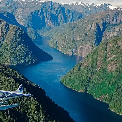
Inside the bay the landmarks come in a clear order. Near the mouth lies Punchbowl Cove with its two kinds of rock, further in the walls close up at the narrows, the north arm leads toward Nooya Lake, and the bay ends at its head between rivers and flats. Outside it, in Behm Canal, stands the lava spire of New Eddystone Rock, the first sight most trips reach.
Mouth to head
Behm Canal
A 237-foot lava plug standing alone in the canal.4
Bay mouth
Gray granite on the north side, blackish basalt at the head.23
On foot
A trail of 1.0 miles climbs from the cove to the lake.9
Upper narrows
Peeling sheets of granite form the face in the rock.6
North arm
Bay head
The bay ends at 2 rivers and 2 flats.11
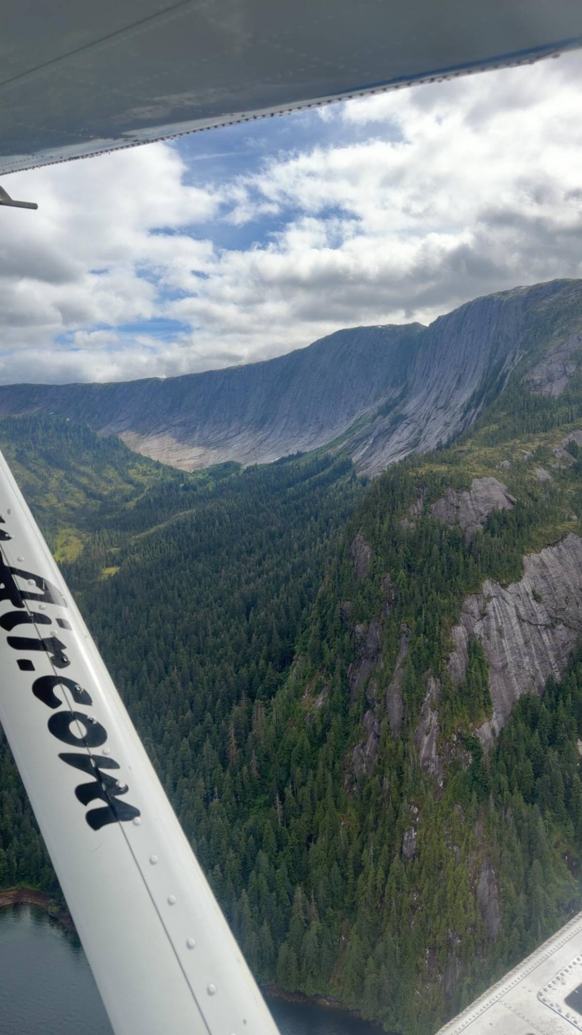
Punchbowl Cove lies near the mouth of Rudyerd Bay, and it is the cove that boats and floatplanes show off first.1 On its north side rises a spectacular gray cliff of granite, a once-molten rock that solidified under great pressure.2 At the head of the cove the cliffs turn blackish, because they are basalt, a lava that can cool into strong, pillar-like columns.3
Radiometric dating puts the Punchbowl basalts at about 400,000 years old.12 That makes the cove a record of very different events: the ice that carved the fiord and the lava that later flowed into it. Seen from a floatplane, the line between the pale granite and the dark basalt is easy to pick out, and it is a place where you can read the geology without a guide.
Punchbowl Cove in Misty Fjords is also a starting point on foot. The trailhead sits at the head of the cove, to the right of the creek, and the Punchbowl Lake trail climbs 1.0 miles to the lake.19 It begins easy, on boardwalk and natural tread, and then turns steep.9 The area around the lake has steep granite cliffs, glacially carved valleys and dense rainforest.13
Landmarks
| Landmark | What it is | Age or size | Best seen from |
|---|---|---|---|
| New Eddystone Rock | Lava plug | 237 ft tall | Boat or plane |
| Punchbowl Cove, north | Granite cliff | Gray wall | Boat or plane |
| Punchbowl Cove, head | Basalt cliffs | About 400,000 years | The water |
| Upper bay narrows | Owl's face rock | Exfoliated granite | The water |
| Punchbowl Lake | Lake above the cove | 1.0-mile trail | The air |
| Bay head | Rivers and flats | 2 rivers, 2 flats | The air |
Descriptions from the Forest Service geology guide and trail pages; best viewpoints are our advice.423126911
Three sights
Lava spireIn Behm Canal
 Two rocks
Near the bay's mouth
 Quietest
Narrows and north arm
Decision helper
Pick what matters most on your visit
From the air the channel, walls and hanging lakes appear together.
A boat cruise names Rudyerd Bay with cliffs up to 3,000 feet.
2 listings land on a lake or a calm bay, at a higher price.
A trail of 1.0 miles climbs from the cove to the lake.9
Plane traffic is heavy from May through August.7
Travelers passing the upper portals of Rudyerd Bay enter the bay head, which is terminated abruptly in two directions by two rivers and two flats.
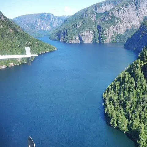
Further in, Rudyerd Bay narrows. At the narrows of upper Rudyerd Bay the Forest Service geology guide points to the owl's face, a shape in the rock left where curved sheets of granite have peeled away like the layers of an onion.6 It is easiest to spot from a boat, which can slow down beneath it; from the air it passes quickly, so ask the pilot or the guide where to look.
The north arm of Rudyerd Bay leads toward Nooya Lake, which sits in the floatplanes' sightseeing path.107 A Forest Service note for the shelter there warns of heavy daytime plane traffic from May through August, a reminder of how many visitors share this view in summer.7 Early and late in the season, the sky over the bay is quieter.
At its head, the bay ends abruptly in 2 directions at 2 rivers and 2 flats.11 From the air, the flat green valleys at the end of the steep walls show that you have reached the end of the fiord, and they mark where the rivers come down from the mountains into salt water. Beyond them the land climbs again toward the high, cold lakes and the border country.
Map
Where the floatplanes leave from, how far the fjords lie to the east, and the bays and lakes the flights pass over.
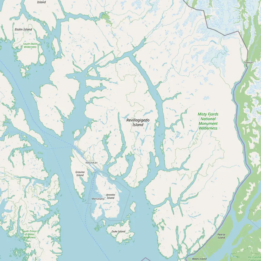 1Berth 2, Ketchikan2Ward Cove3New Eddystone Rock4Punchbowl Cove5Rudyerd Bay6Walker Cove
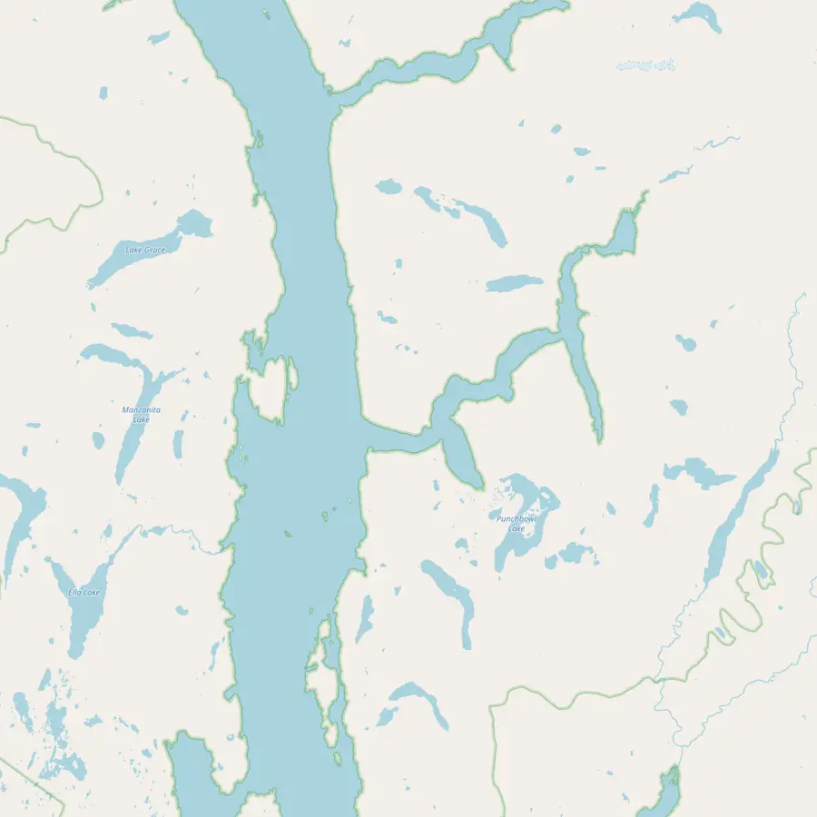 3New Eddystone Rock4Punchbowl Cove7Punchbowl Lake5Rudyerd Bay8Nooya Lake
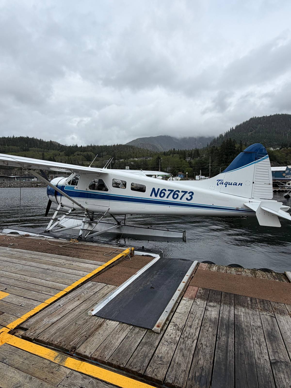
Where the flight meets, by the bronze statue called The Rock; same-day tours are also sold at the Visitors Center here.14
In Google Maps ↗Cruise berth outside town, some 5.5 miles from the downtown docks.15
In Google Maps ↗A plug of hardened lava standing 237 feet tall in Behm Canal.45
In Google Maps ↗Near the mouth of Rudyerd Bay, reached only by boat or floatplane.1
In Google Maps ↗The bay that branches east off Behm Canal into the granite walls.1
In Google Maps ↗A second fiord north of Rudyerd Bay, surrounded by high, cold lakes and mountains.8
In Google Maps ↗At the end of a 1.0-mile trail from the cove, with a three-sided shelter.9
In Google Maps ↗In the north arm of Rudyerd Bay, under the floatplanes' sightseeing path.107
In Google Maps ↗Spotter's list
Video
The video plays from YouTube only after you press play.
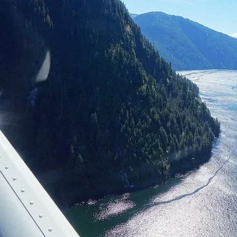
Outside the bay, in Behm Canal, stands New Eddystone Rock. It is a plug of hardened lava occupying a former volcanic vent, and its volcanic core is about 15,000 to 13,800 years old.5 Wave action and the land rising after the ice melted have left a landmark 237 feet tall, standing alone in open water.4
The rock has a place in history too. George Vancouver explored the area in 1793 and is reported to have stopped for lunch on New Eddystone Rock.16 Opposite the rock, on the eastern side of Revillagigedo Island, the geology guide describes carbonated soda springs whose water was once bottled and sold locally for a short time.17
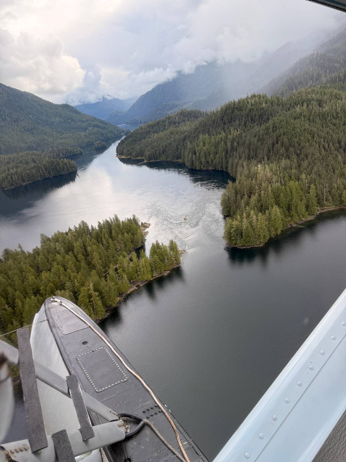
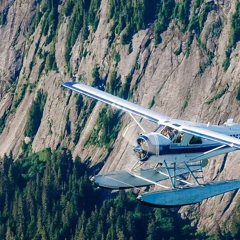
From a floatplane, New Eddystone Rock is a single dark column standing in open water, and the flight this site features names it among the sights it passes. Boats pass close enough to see the texture of the lava, and the boat cruise compared on this site lists it on its itinerary. Either way, it is the landmark that tells you the fiords are close.
The waters of the monument are a prime feeding area for humpback whales, Steller sea lions and harbor seals, and bald eagles nest in the trees along the shoreline.18 In Rudyerd Bay, look along the base of the walls for seals and up in the trees above the water for eagles, which are easier to pick out than any mammal.
Mountain goats patrol the ridgelines above the bay and can be seen through binoculars or from the window of a floatplane.19 Look for white dots on gray rock, often high on the walls where nothing else seems able to stand. Ask the pilot or guide before you reach the bay where to look, and keep looking up while everyone else looks down at the water.
Birds are fewer than the cliffs suggest. The geology guide explains that very few of the cliffs here have a jointing pattern that produces nesting ledges, so there are few bird colonies in the monument.20 Where you do see gulls or other seabirds gathered on a wall, the rock there has broken into small ledges, and the birds stand out clearly against the granite.
The bay looks different with every sky. On a clear day the granite is pale and the water dark blue; under cloud the walls turn gray and the waterfalls stand out. At Ketchikan's Beaver Falls station, 12 days in an average July reach 2.5 mm of precipitation, and 18 in September do, so a grey or wet visit is normal rather than bad luck.21
Rain has one advantage: it feeds the waterfalls. After a wet night, threads of water run down walls that are dry in a sunny week, and the bay's sound changes from the boat. Low cloud is the real problem for flights, because it can cover the upper walls and the lakes above them, and the operator can cancel a flight for bad weather.
Daylight is long in the season. In mid-June the sun stays up for 17.4 hours, and in mid-September still for 12.8 hours.21 In a deep fiord the walls shade each other, and the time of day decides which side is lit. A midday departure tends to light more of the bay than an early morning one, while evening light warms the eastern walls.
From the air, Rudyerd Bay is a shape: a long blue channel, steep walls, lakes in hanging valleys and the flats at the head. The flight this site features passes over the bay without stopping, in a trip of 2 hours from Berth 2 back to Berth 2, from $349. Every guest has a window seat, but which side faces the cove at any moment depends on the flight path.
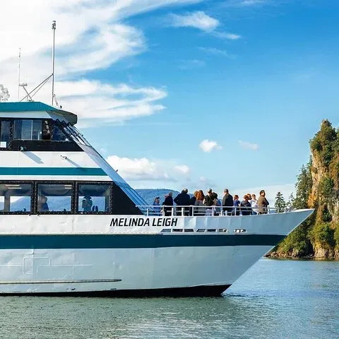
From the water, the bay is a sequence of close-ups. The boat cruise compared on this site names Rudyerd Bay with cliffs of up to 3,000 feet and New Eddystone Rock on a trip of 5.25 hours, from $232. You see the owl's face, the waterfalls and the seals at their own scale, and you see less of the lakes above.
If a landing in the bay's country is what you want, 2 floatplane listings include one: a 20-minute landing on a mountain lake or saltwater inlet, and a landing on an alpine lake or a calm bay with time ashore. Both are non-refundable, so book them only when your plans are fixed and your ship's time in port allows it.
Ready to fly
Pick a departure that fits your ship, then meet the van at Berth 2.
East of Behm Canal. It branches east off Behm Canal inside the monument, and is reached only by boat or floatplane.1
Near the mouth of Rudyerd Bay. The cove lies near the bay's mouth; its trailhead is at the head of the cove, right of the creek.1
237 feet. It is a plug of hardened lava whose core is about 15,000 to 13,800 years old.45
Yes, without stopping. The flight passes over Rudyerd Bay and New Eddystone Rock; its listing names no water landing.
Yes, a short steep trail. The Punchbowl Lake trail is 1.0 miles long, easy at first and then steep.9
A rock shape in the upper bay. It is an exfoliating granite face at the narrows of upper Rudyerd Bay.6
May through August. A Forest Service note warns of heavy daytime floatplane traffic in those months.7
Sources
Keep reading